(Click on thumbnail for larger view)
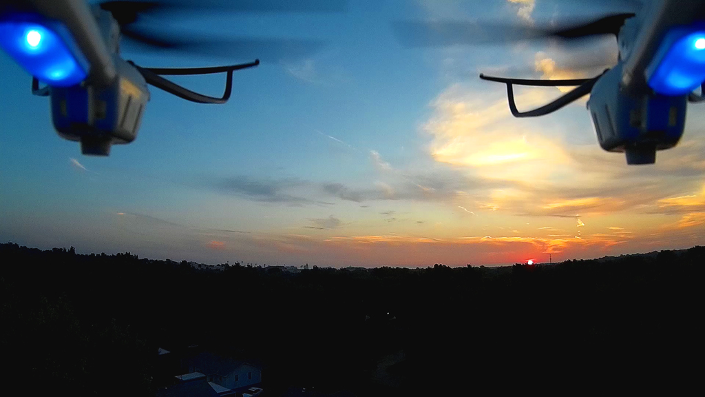
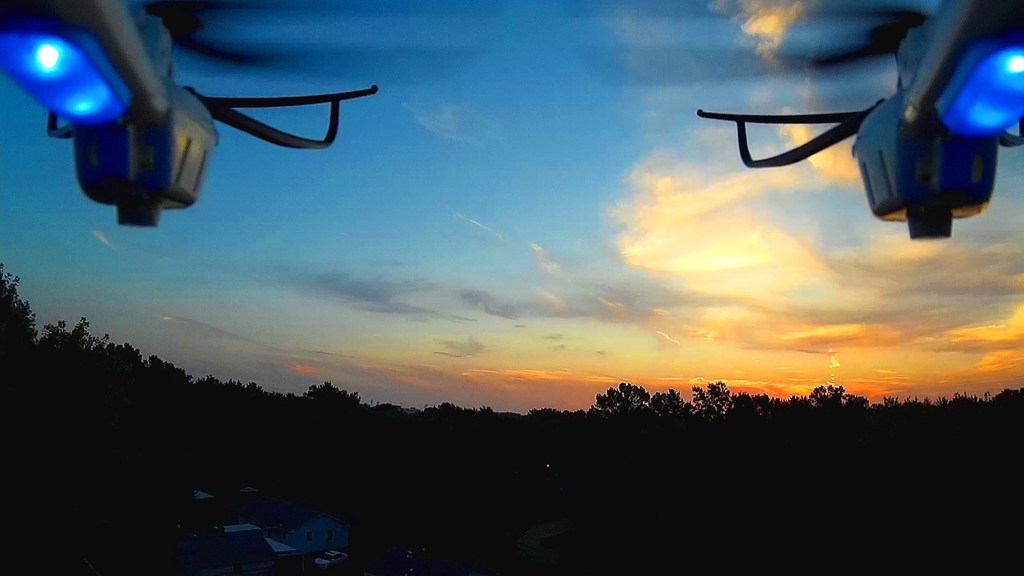
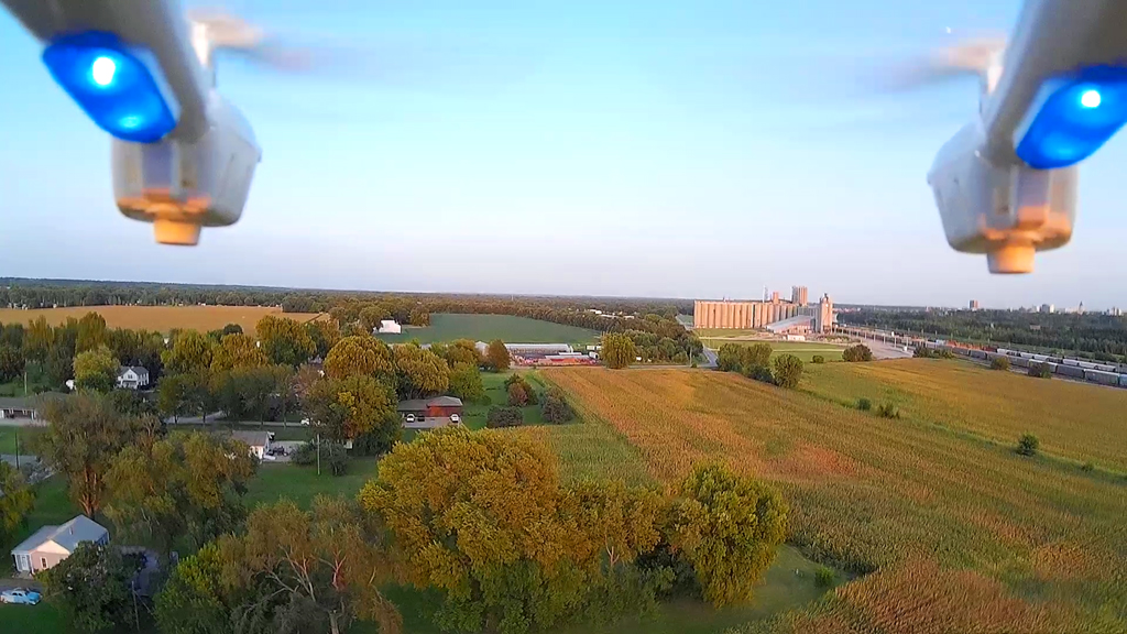
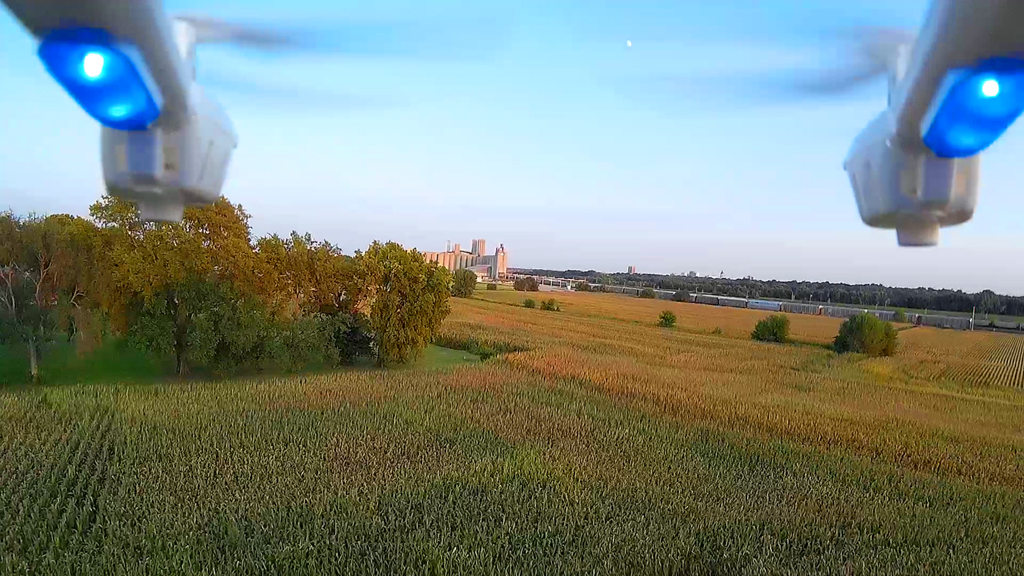
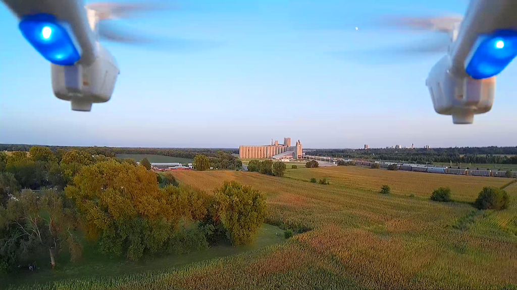
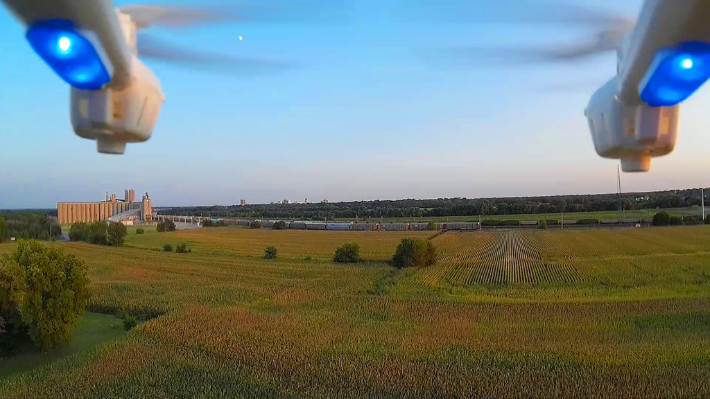
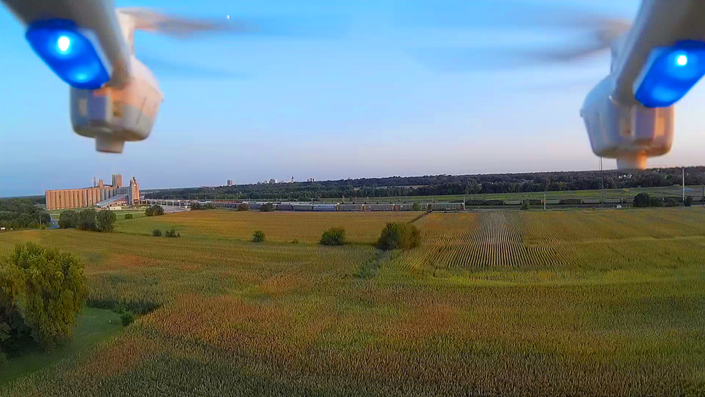
Along and Above the Tracks - September 19, 2015
Flying not quite as high as we
had intended as there were some wind gusts. While on this side of the
tracks we
spotted what we thought was a hawk perched on a telephone pole on the opposite
side.
On the other side it appeared this was a very large pigeon. As the
hexacopter ascended we tried to get a picture, but
it
flew up (image #5 above) and perched (image #6 above) on the wire left of the
pole.
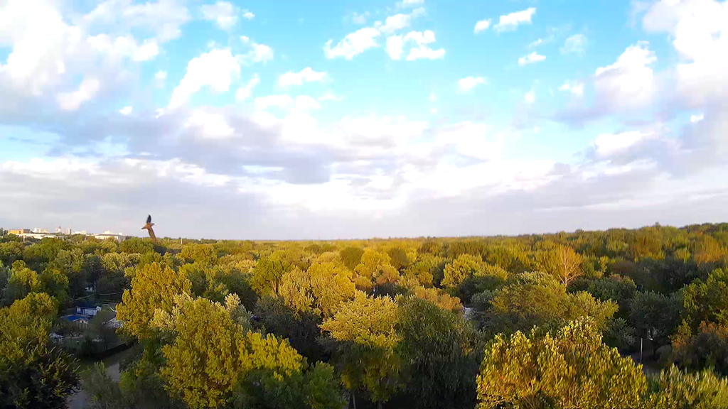
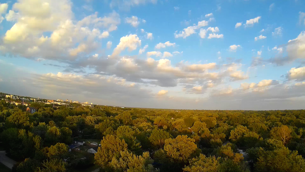
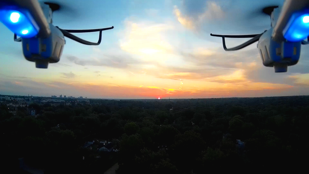
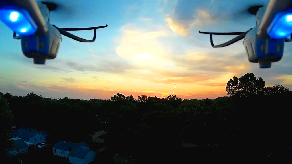
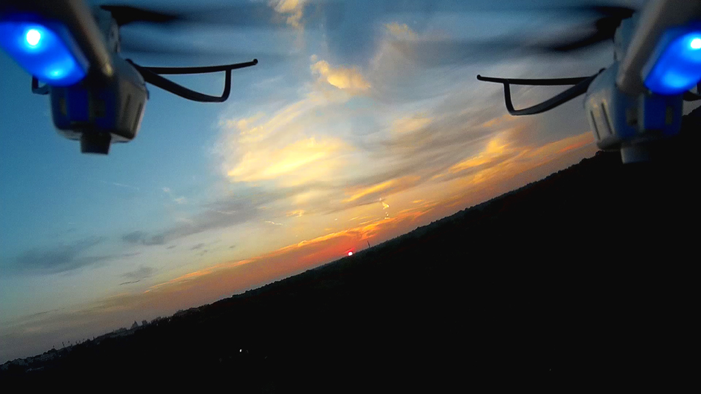
Flying High with the Swallows - September 17, 2015
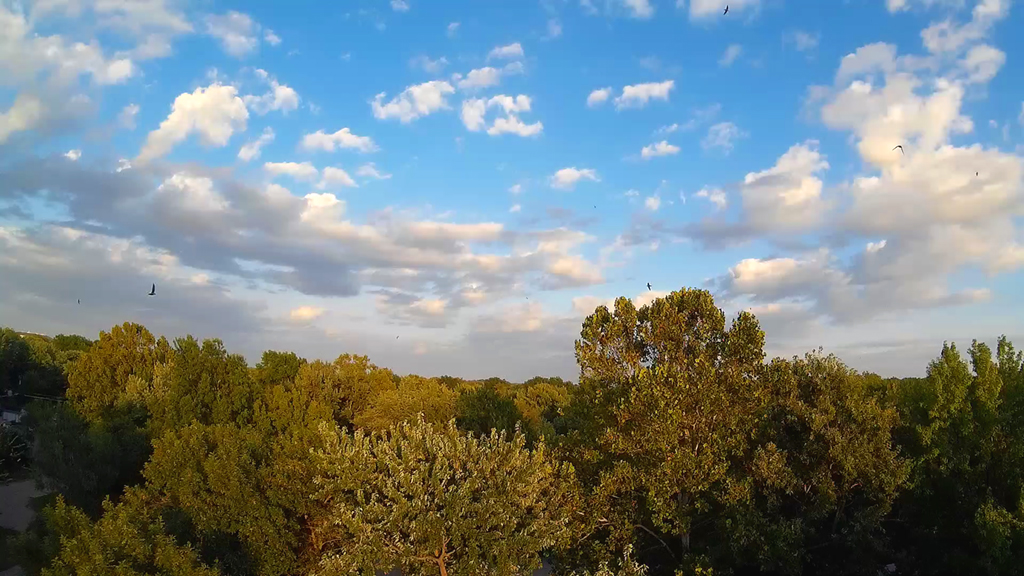

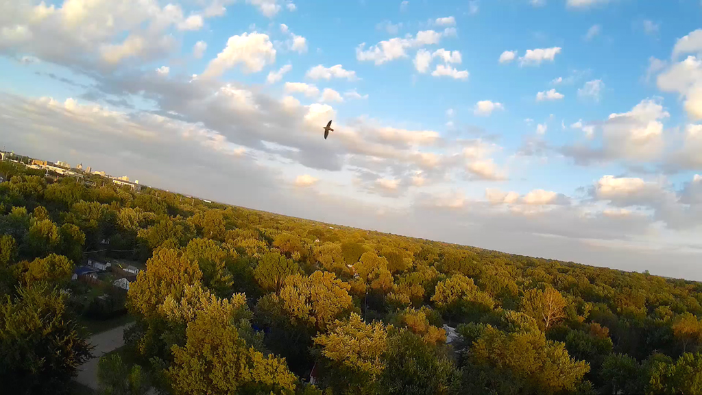
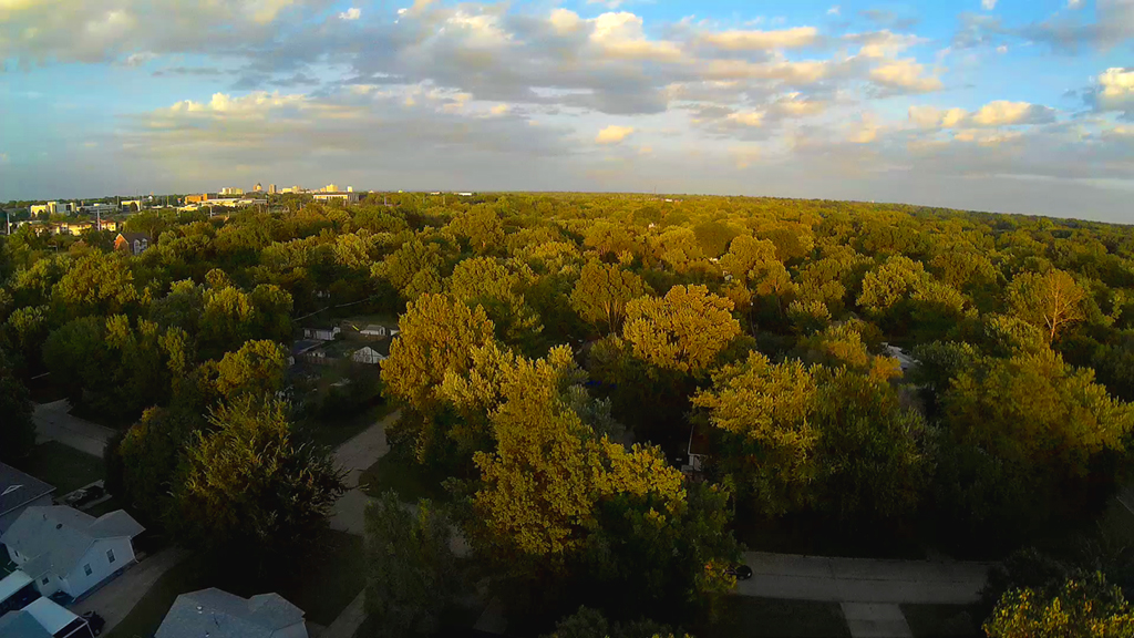
About and hour before sunset, 80 degrees and partly cloudy. Launched the
MJX X600 in the backyard pointing to the
Northeast. Up about 150 feet we ran into Barn Swallows chasing mosquitoes
and we also saw a few Night Hawks
doing the same thing. While they look pretty small in our video, the first
frame caught an image of seven. Next three
frames a single barn swallow is closer to the hexa-copter. We took it up
near 300 feet and encountered some wind.
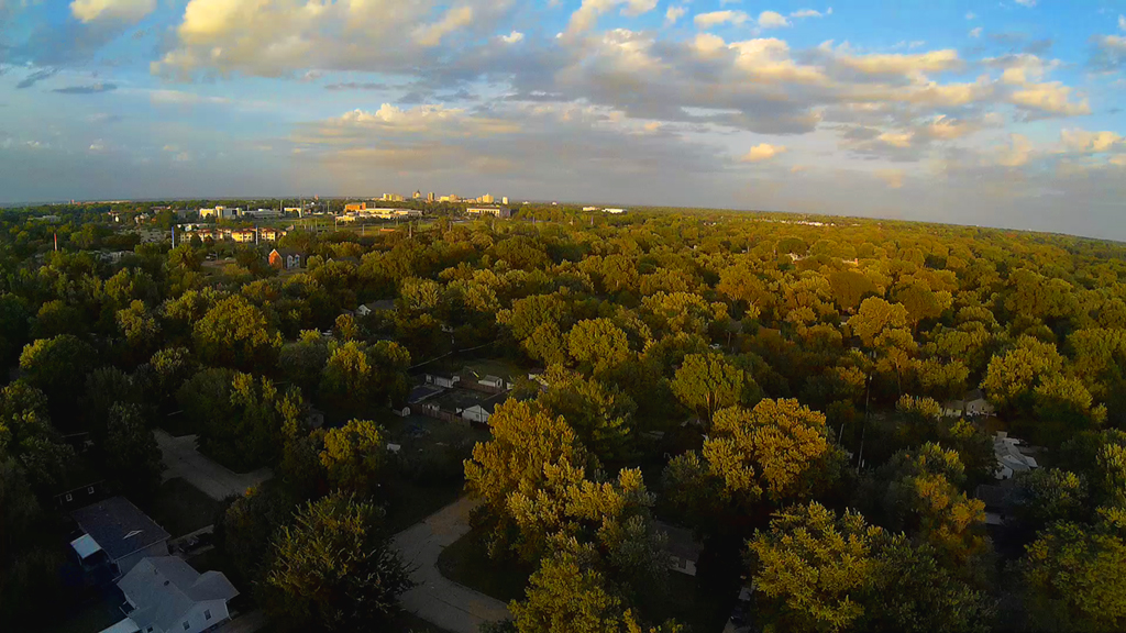
With the sun behind us and still looking East to Northeast,
downtown Topeka is on the horizon about five miles away,
while Washburn University is closer and about a mile in distance.

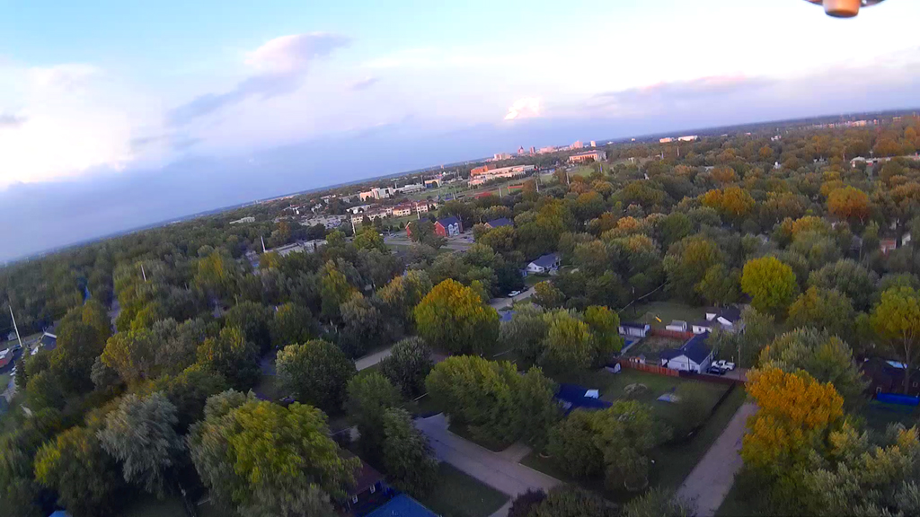
Time to start coming down as it was getting a little breezy
on the ground and the sun was going down in the
West, which caused the exposures on the camera to start changing. Going up
is not a problem, but
coming down and keeping clear of the surrounding trees gets a little tricky
sometimes.
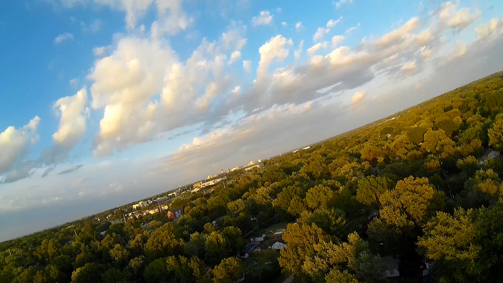
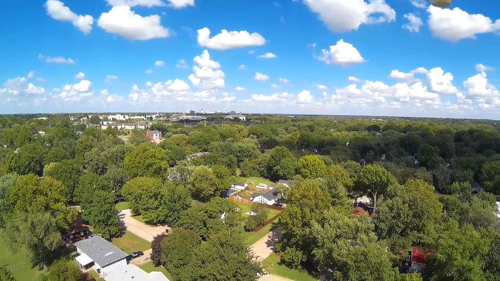
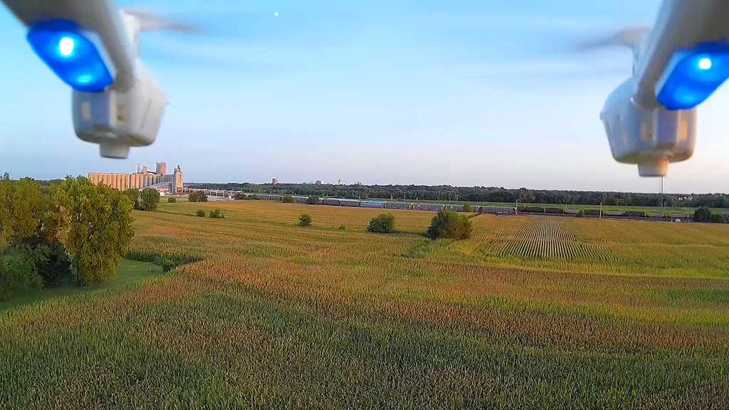
Open Field Flying - September 10, 2015
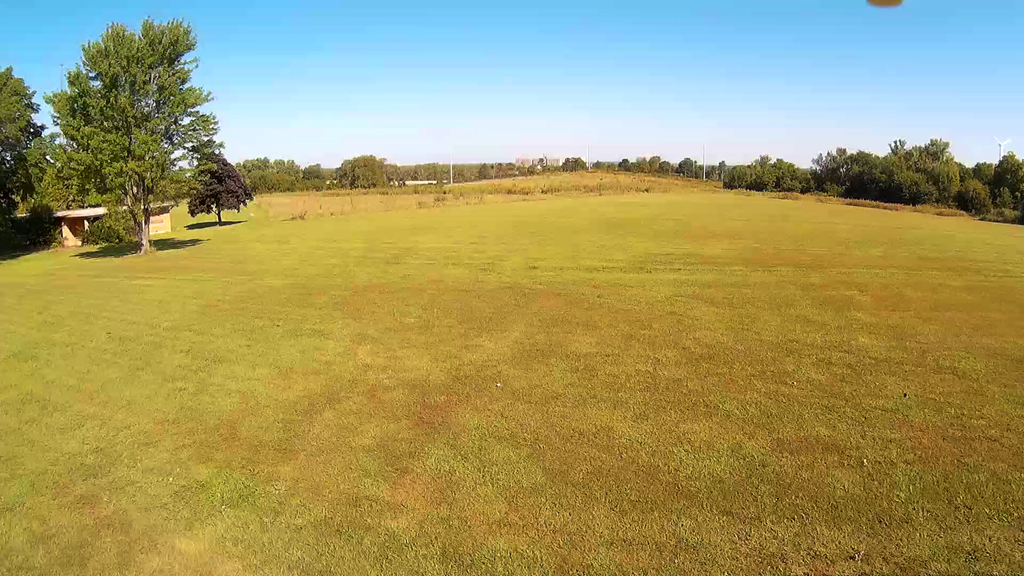
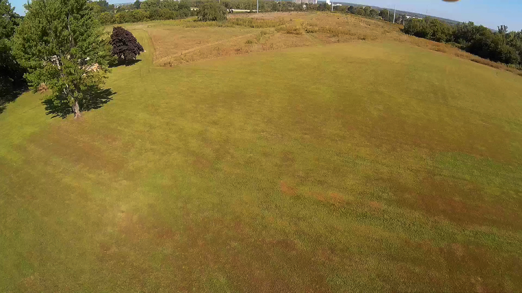
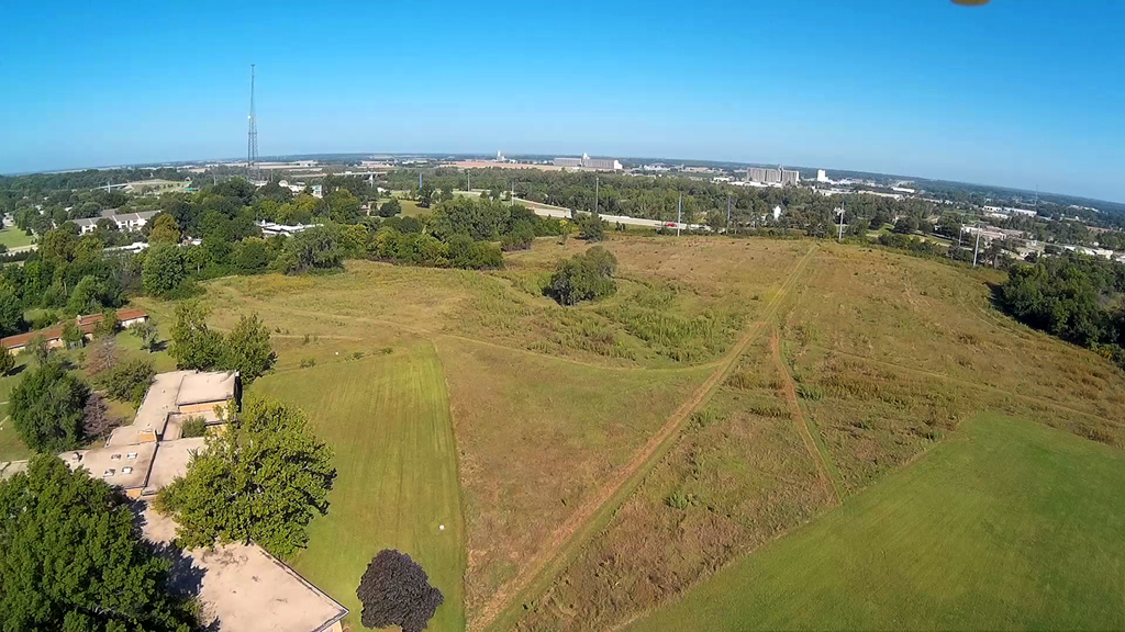
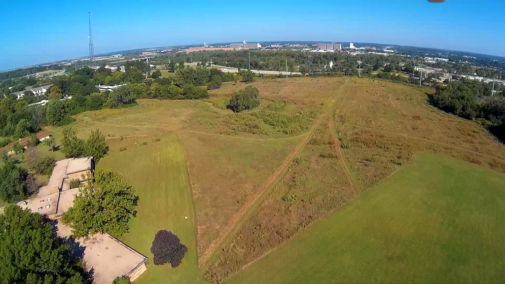
Eighty degrees, blue skies and an open field was a great place to get up high in
altitude and also test
our modification to how the RunCam HD camera is mounted and tilted to improve
the image. Still just
a tad of that right propeller motor housing showing.
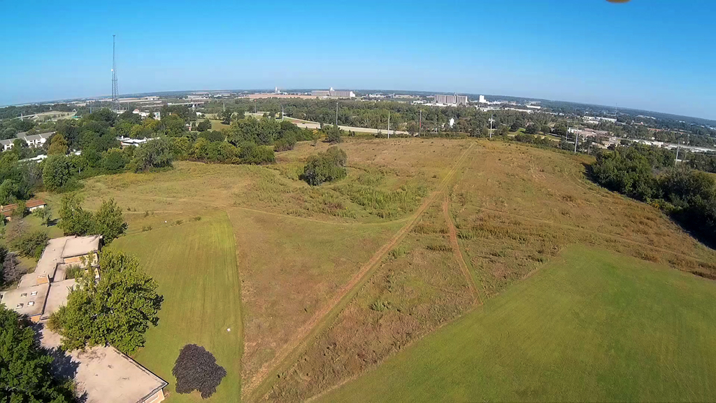
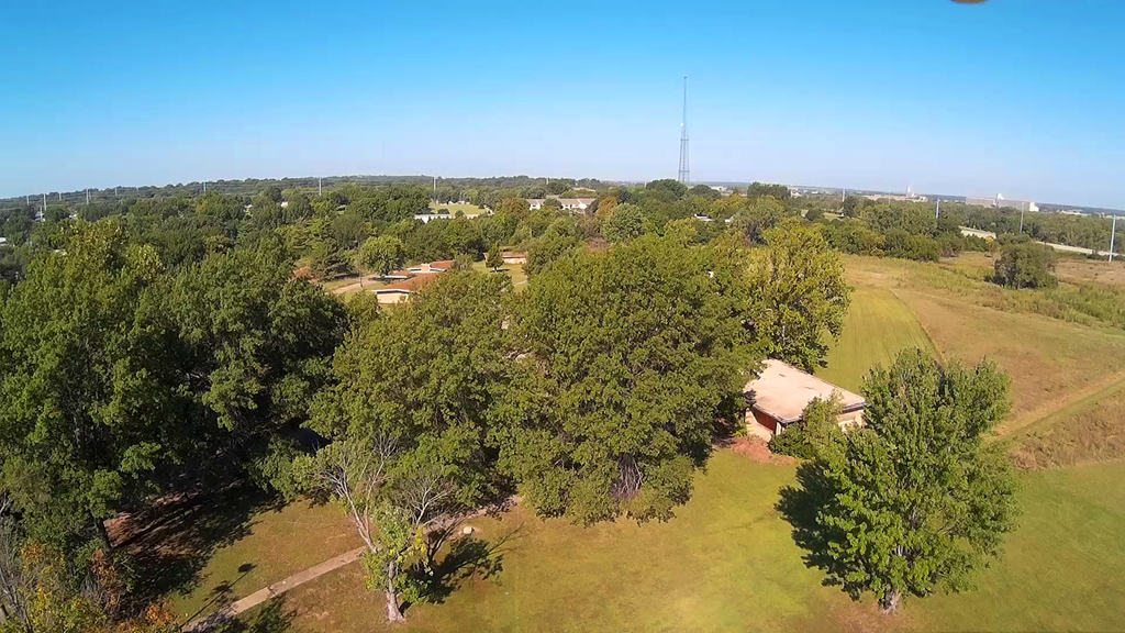
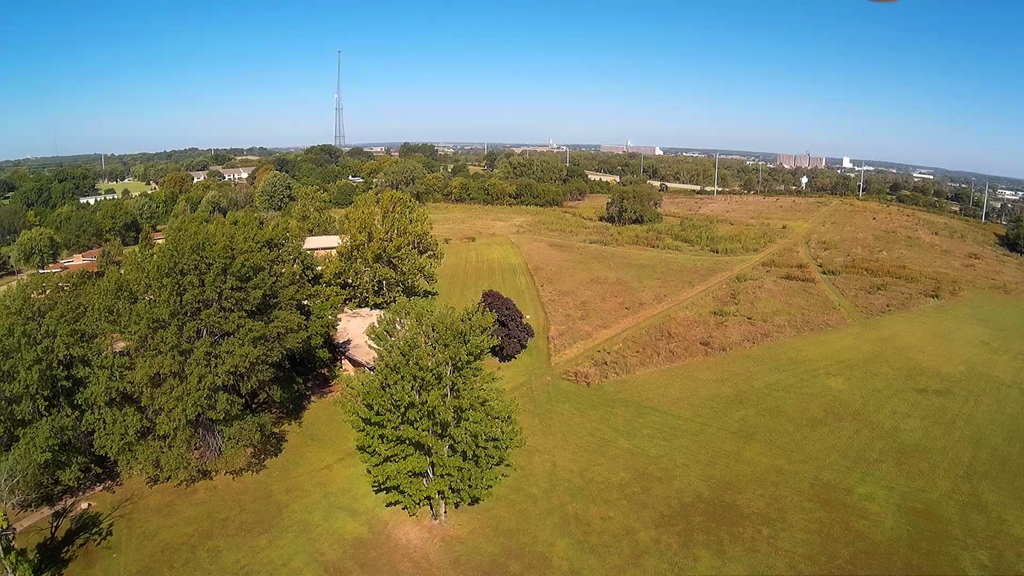
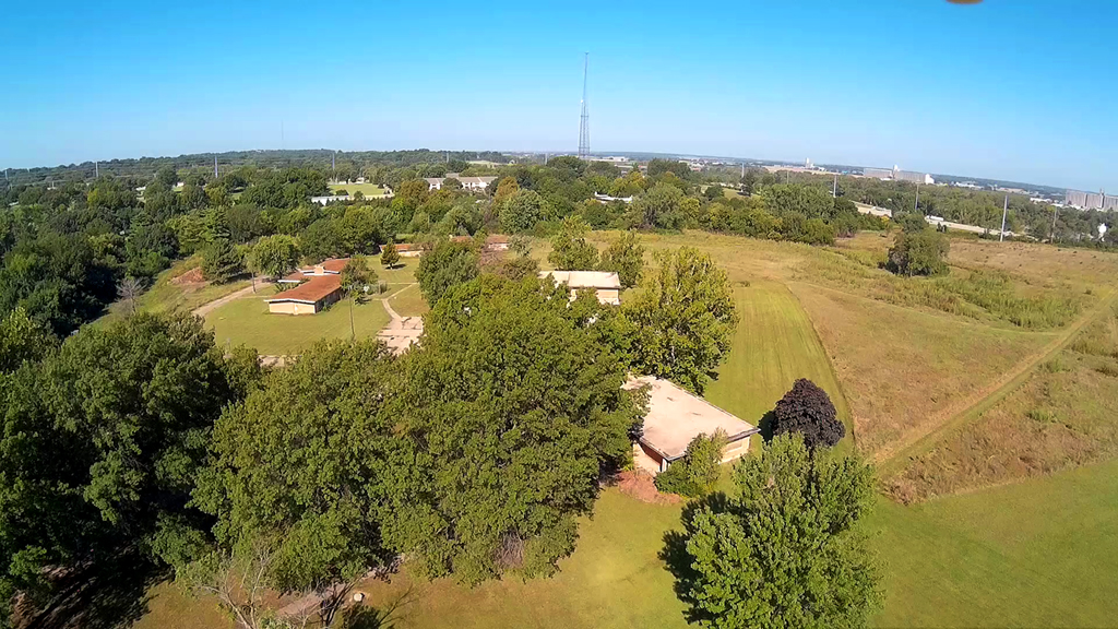
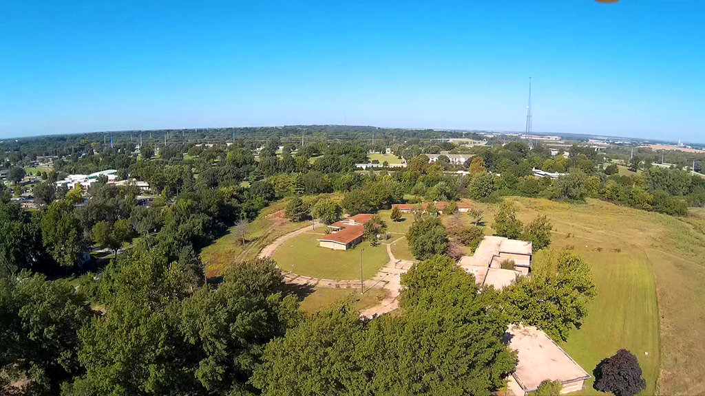
The field area is West of the old Topeka State Hospital grounds and campus.
On the horizon you
can see Interstate 70 and then on across the Kansas River on up to Lower Silver
Lake Road.
Top row of photos is looking North and then in the second row we pointed
Northwest. The tall
tower is the Kansas Highway Patrol radio tower.
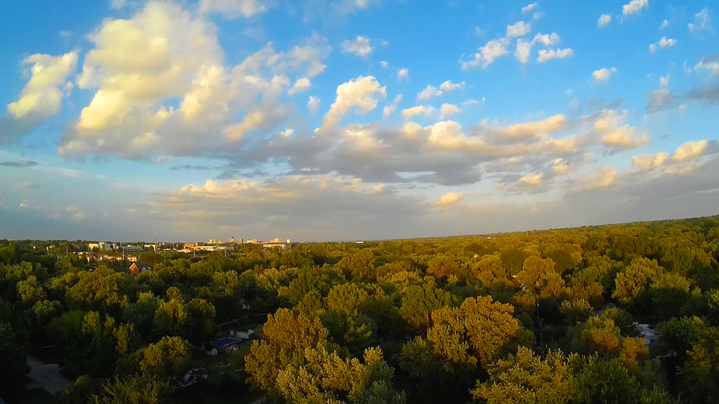
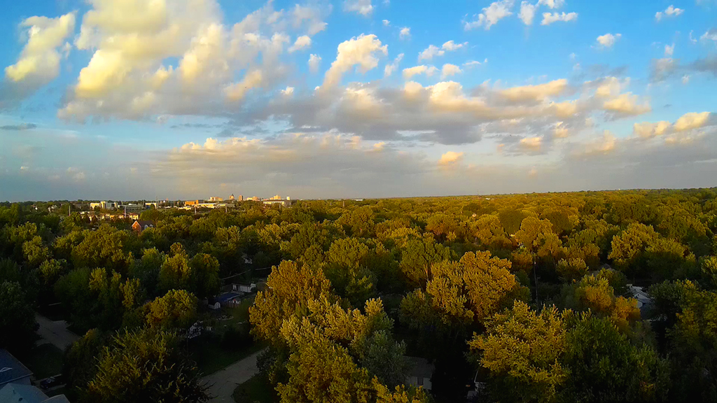
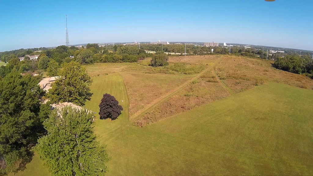
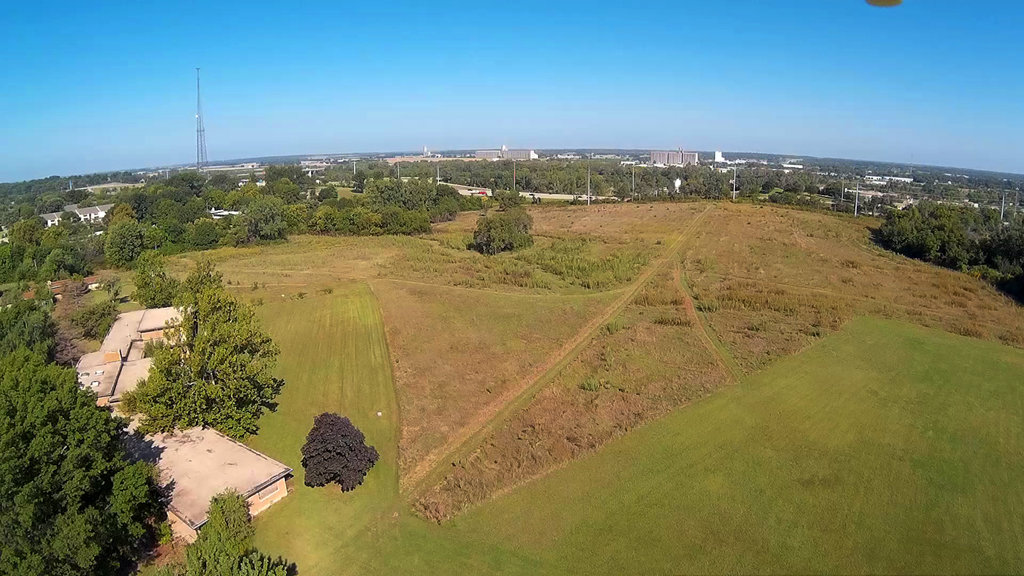
Camera Mount Test - September 9, 2015
Utilizing a credit card cut in half and two zip ties along with some velcro
to facilitate attaching the camera to the plastic credit card and the hexacopter,
we have
almost achieved eliminating the visible two front propellers when flying.
Not perfect as you can see just a
little of the bottom motor gage in the upper right hand corner
of the image. Tilting the camera can be set that will help remove all
visible propellers.
This video was taken at 250 to
300 feet in altitude behind my residence looking to the
the Northeast. Washburn University and downtown Topeka on the horizon.
Sunrise - September 4, 2015
Up about 200 feet and looking to the East from my backyard. Downtown
Topeka is on the horizon.
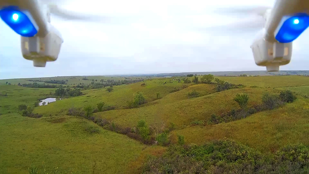
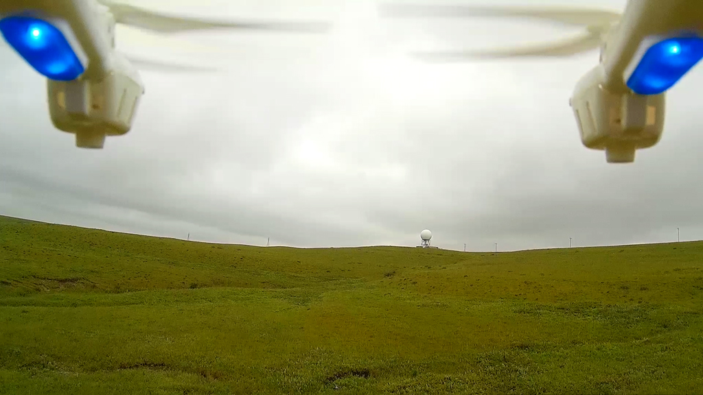
Flying in the Flint Hills - August 29, 2015
Dreary, overcast, cloudy and sometimes a fine
mist on this particular morning, plus the wind was about 12 to 15 MPH.
In any case we started at the upper end of Muddy Creek Road on up to
Bobcat Road, the latter being a
"low maintenance" pathway, meaning that often times it requires 4-wheel drive
just to traverse it. Both of these
roadways are in Wabaunsee County, part of the Kansas Flint Hills.
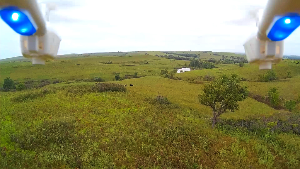
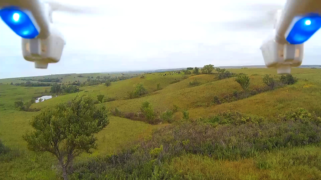
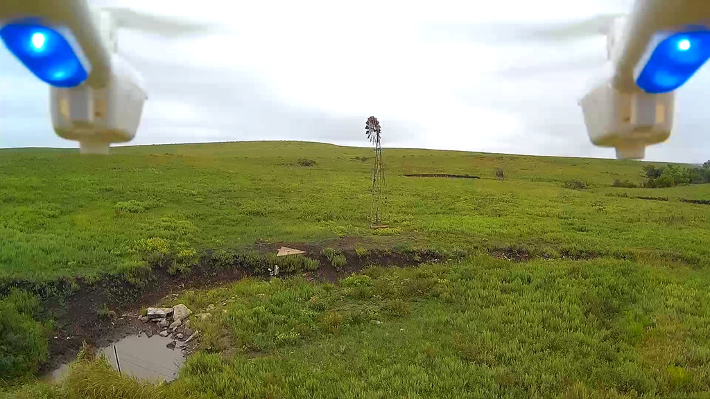
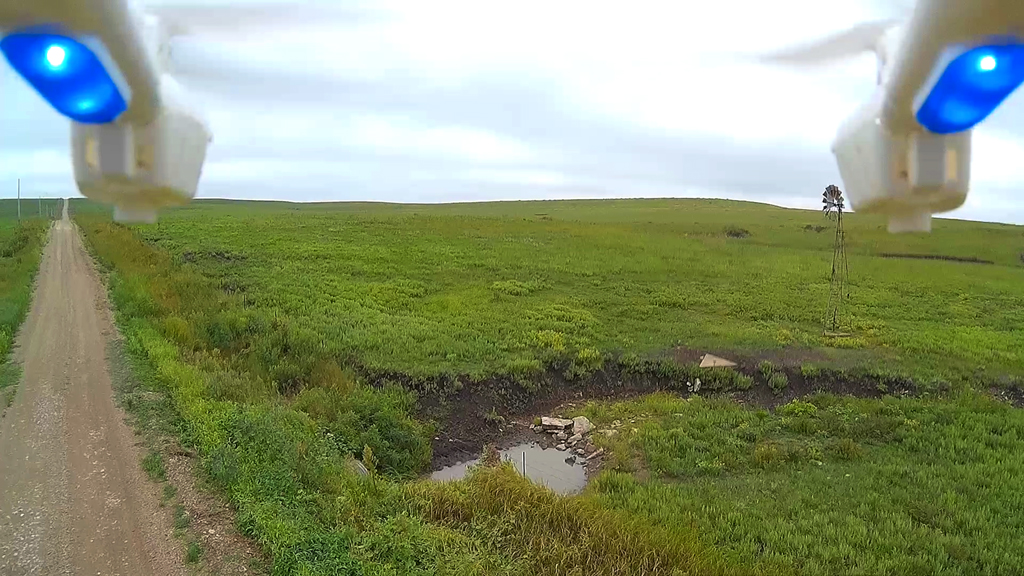
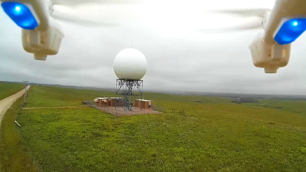
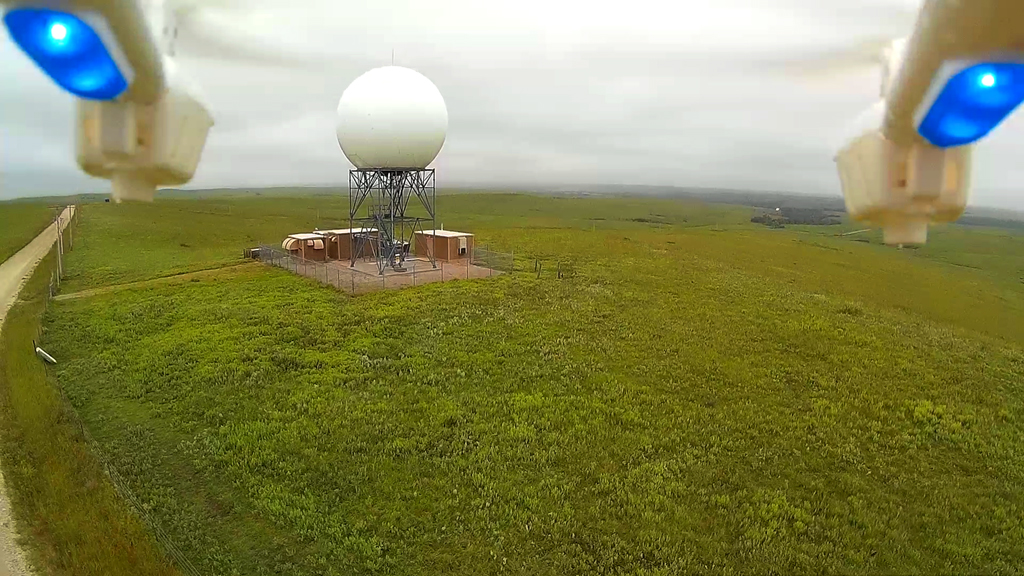
On up the roadway from the trinity windmill, which
we wanted to get closer to, but couldn't because of the gusty wind,
looking South on up on a hill is the NOAA Weather Doppler Radar station.
When we got up there is was pretty
obvious the wind was hitting 15 MPH so no plans to fly up over and around this
big volleyball.
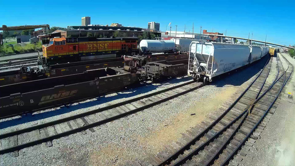
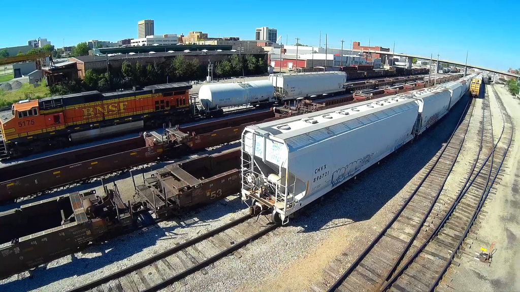
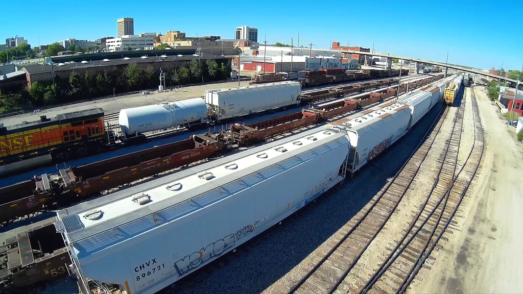
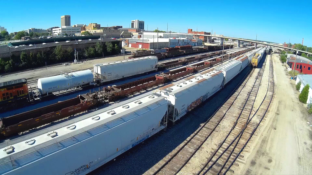
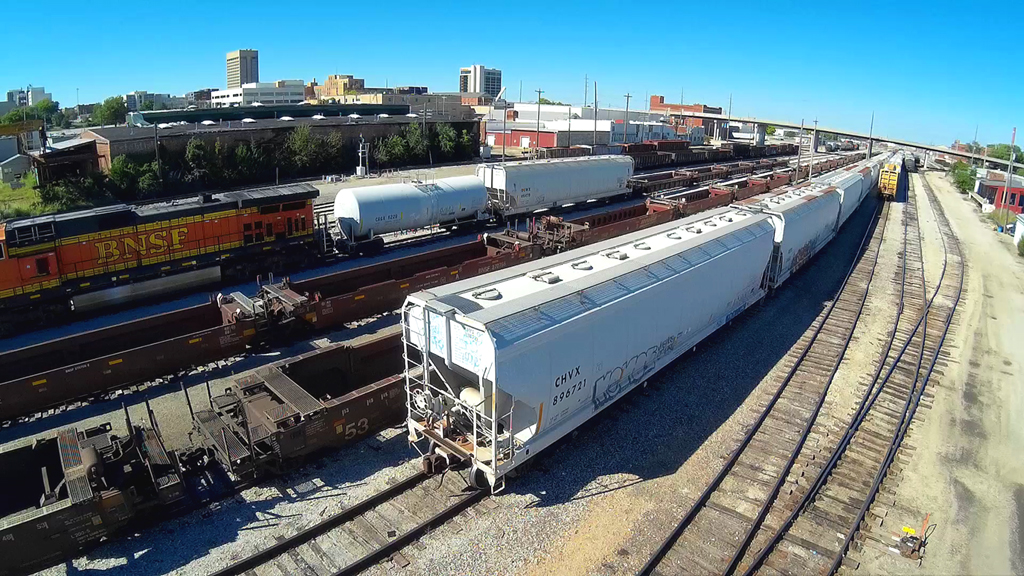
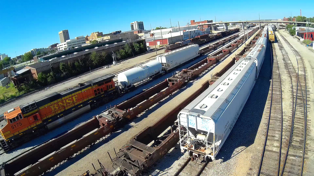
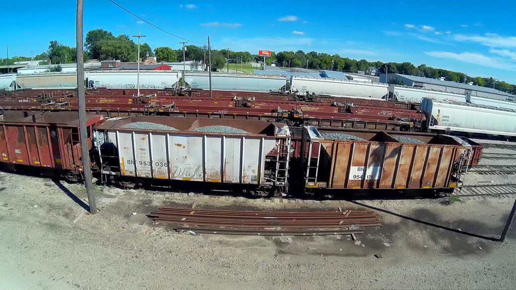
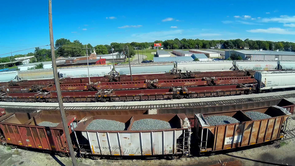
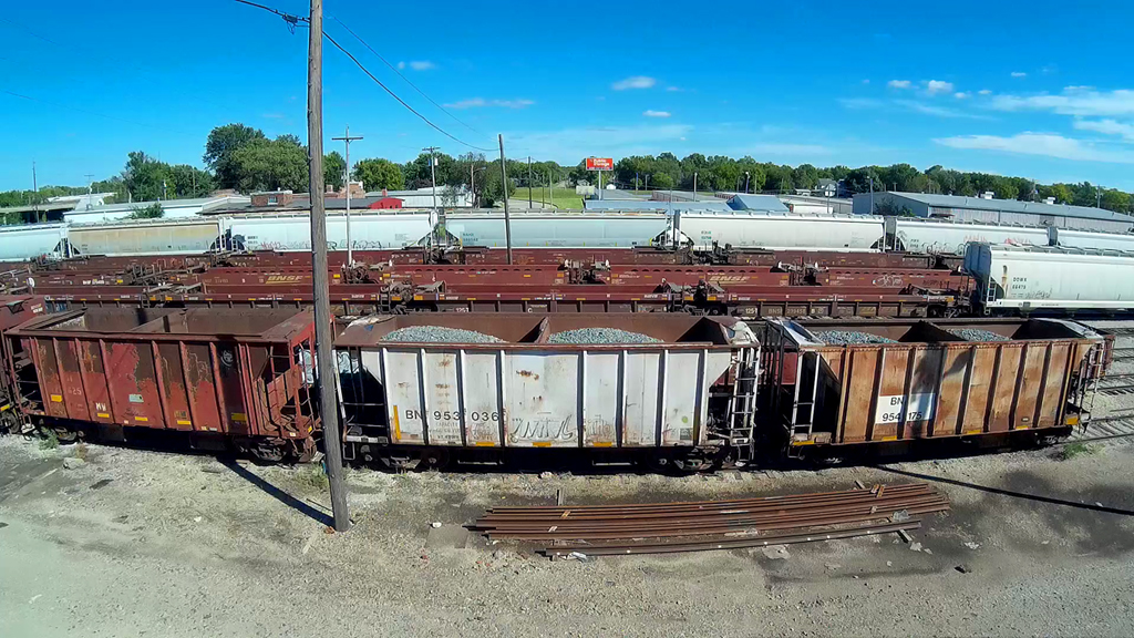
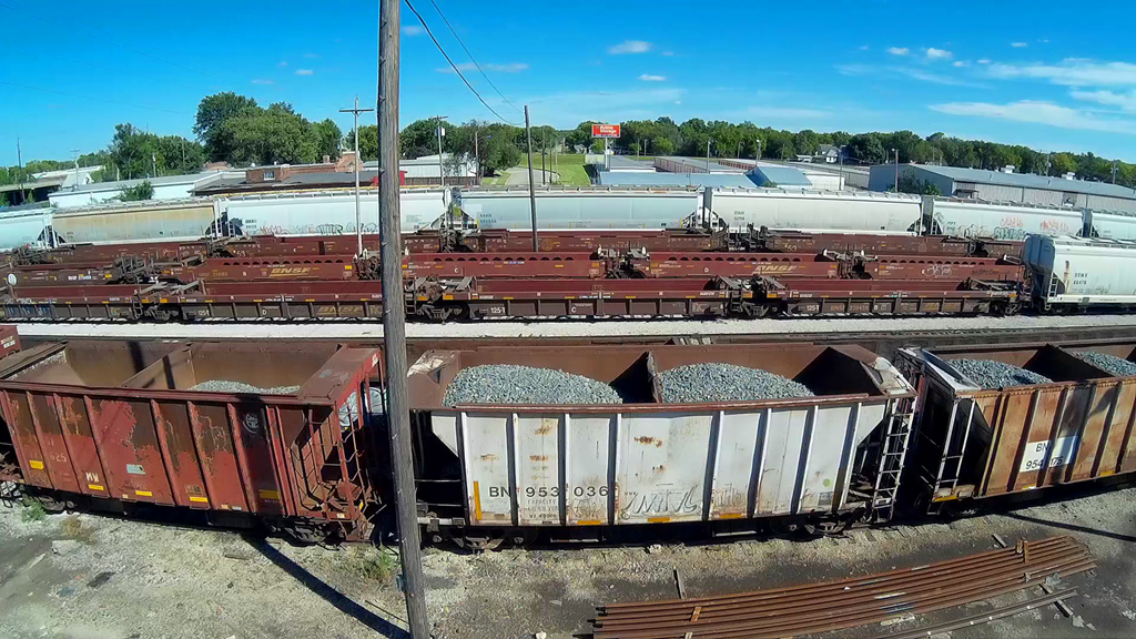
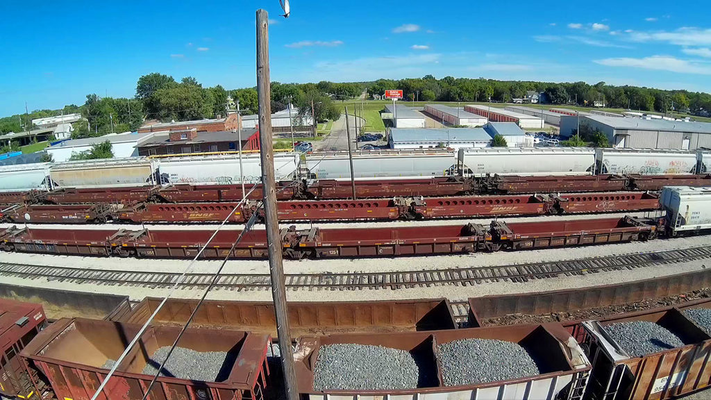
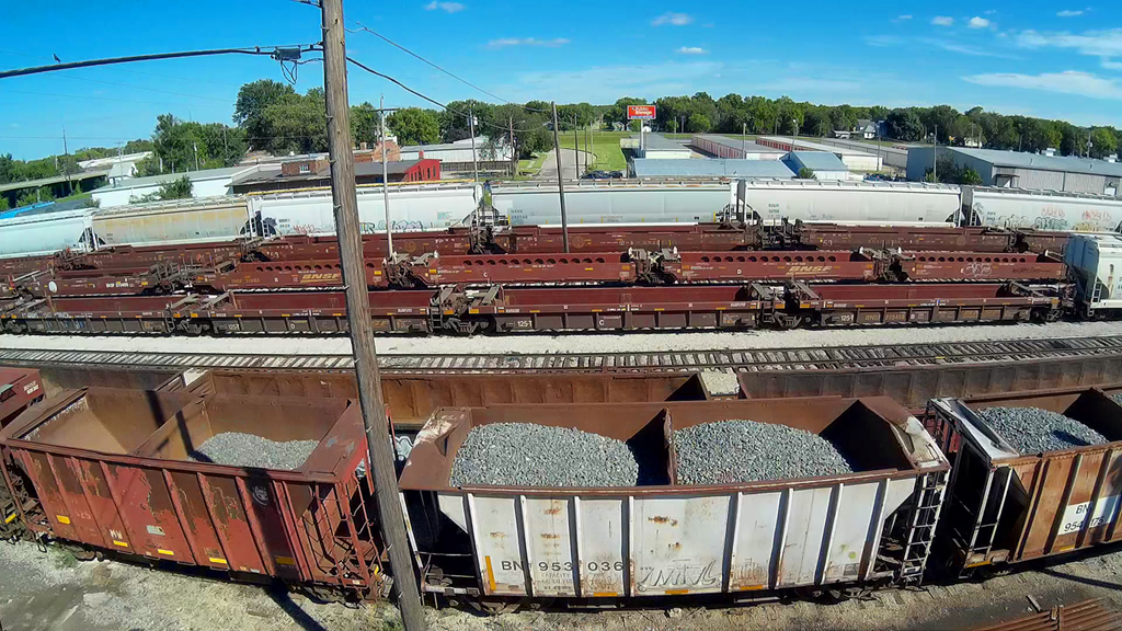
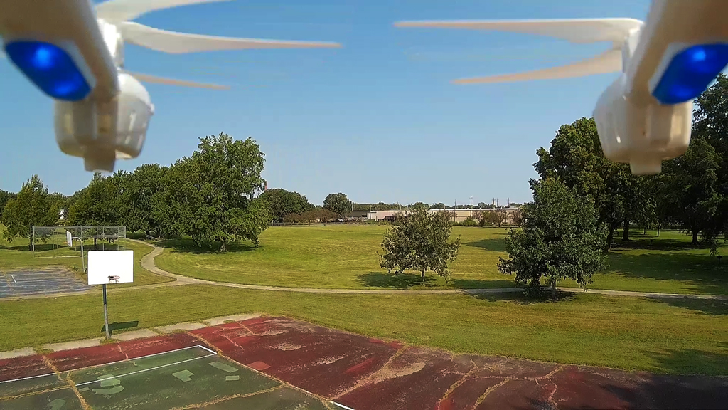
Basketball Court Launch - August 26, 2015
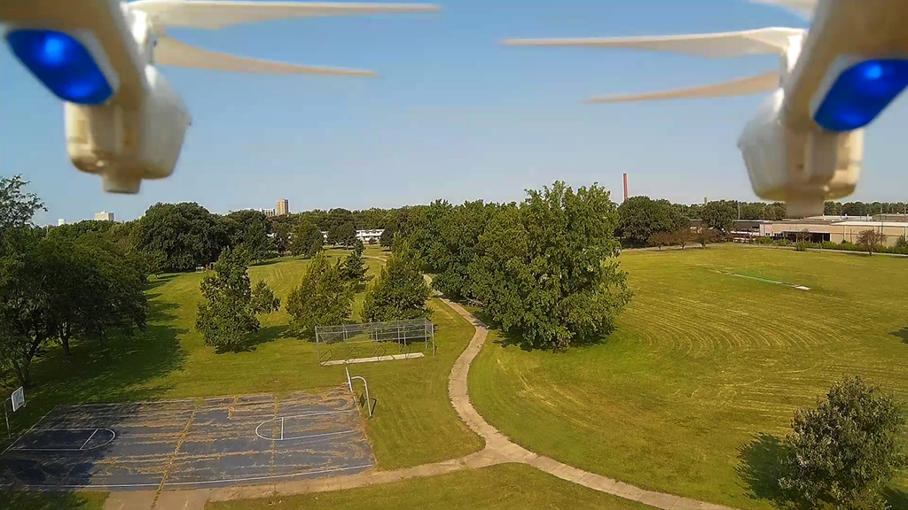
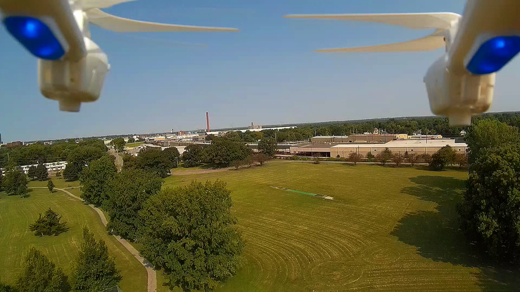
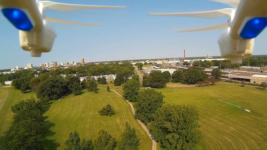
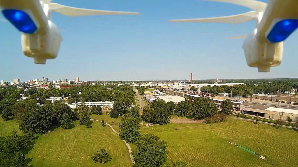
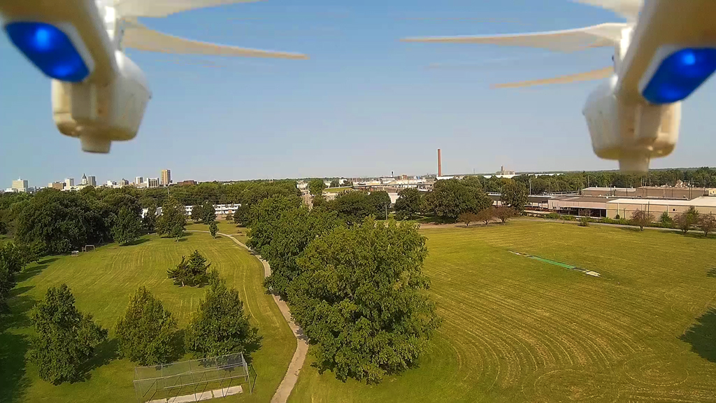
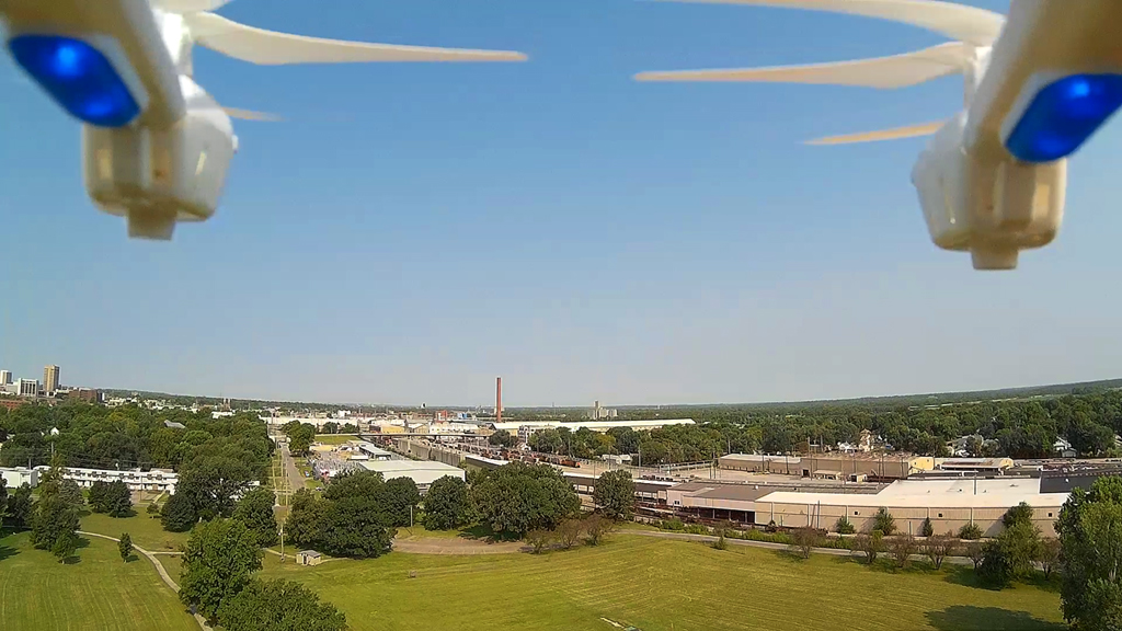
Clear skies and very little wind in Ripley Park, Topeka, KS, made it easy to climb to an
altitude of about 200 feet
with the MJX X600 hexacopter and the RunCam HD camera attached below the body between the landing gear.
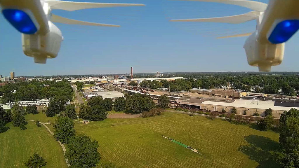
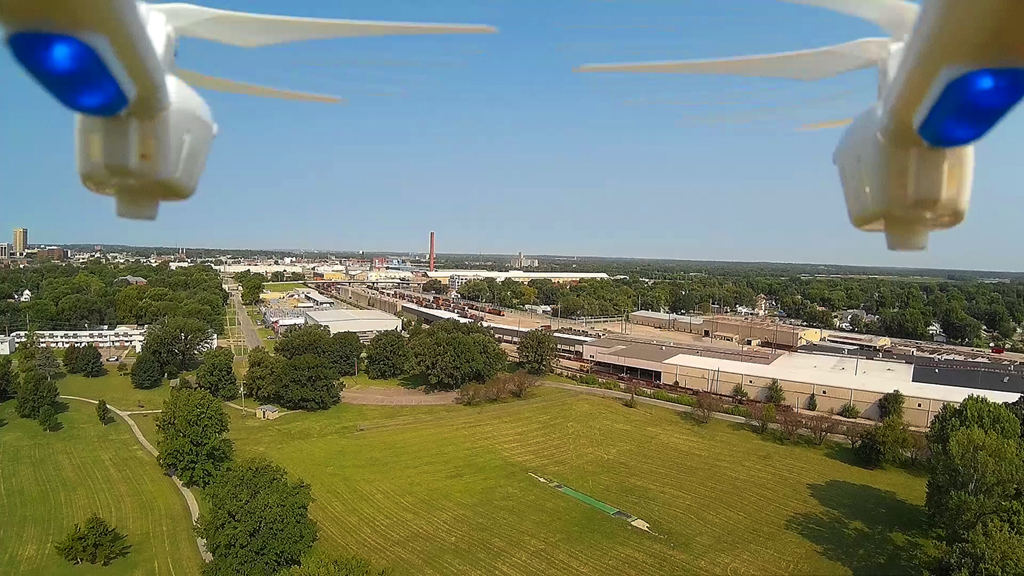
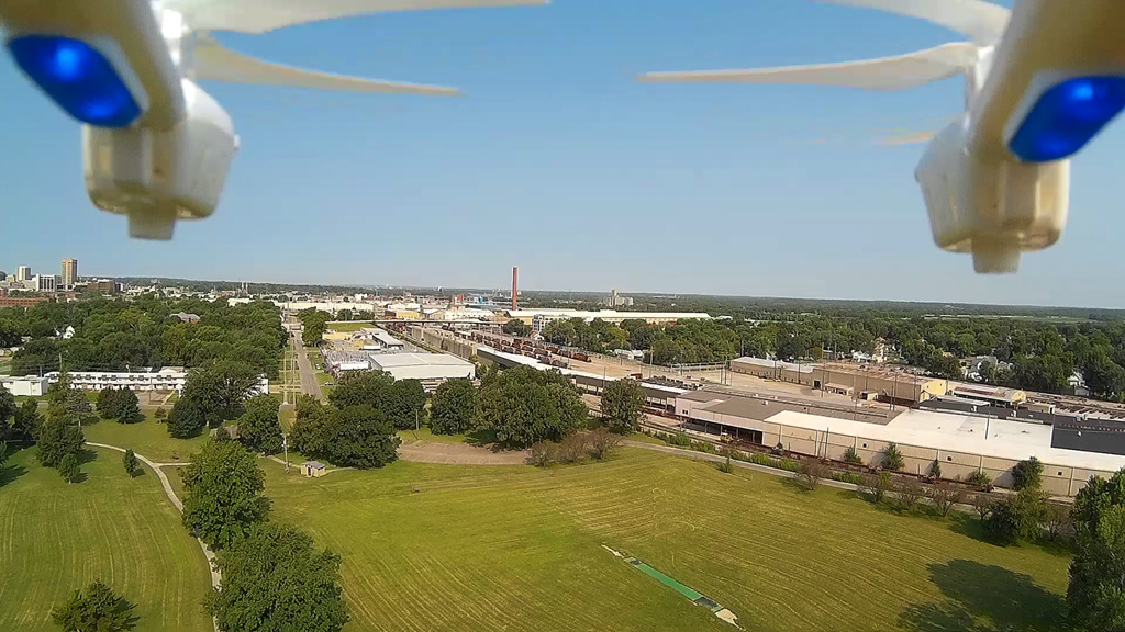
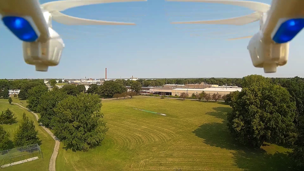
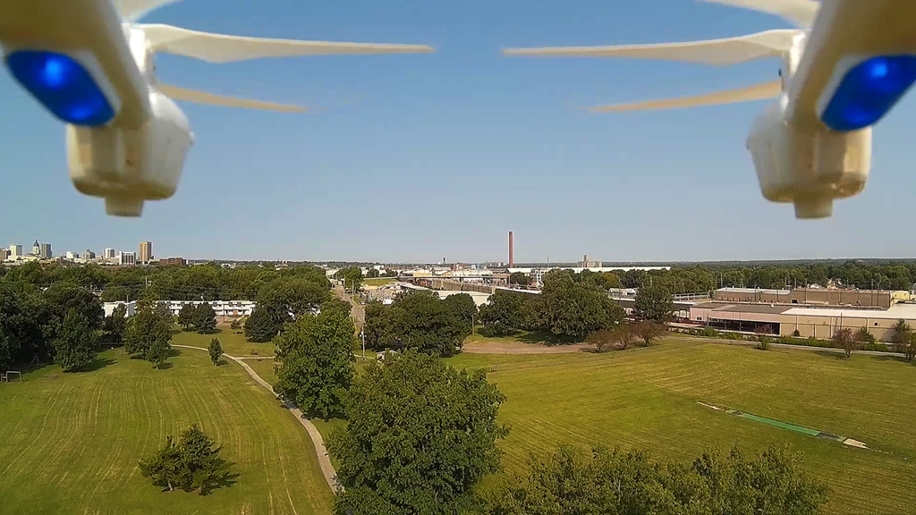
Looking to the Northwest and seeing the Santa Fe railroad work
shop area,
then turning the hexacopter to the West,
downtown Topeka became visible on the horizon.
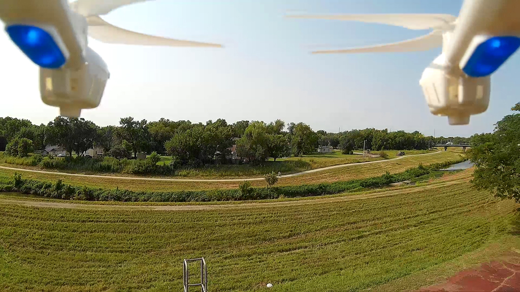
Turning the X600 to the South where there is a flood dyke adjacent on the South
side of Ripley
Park.
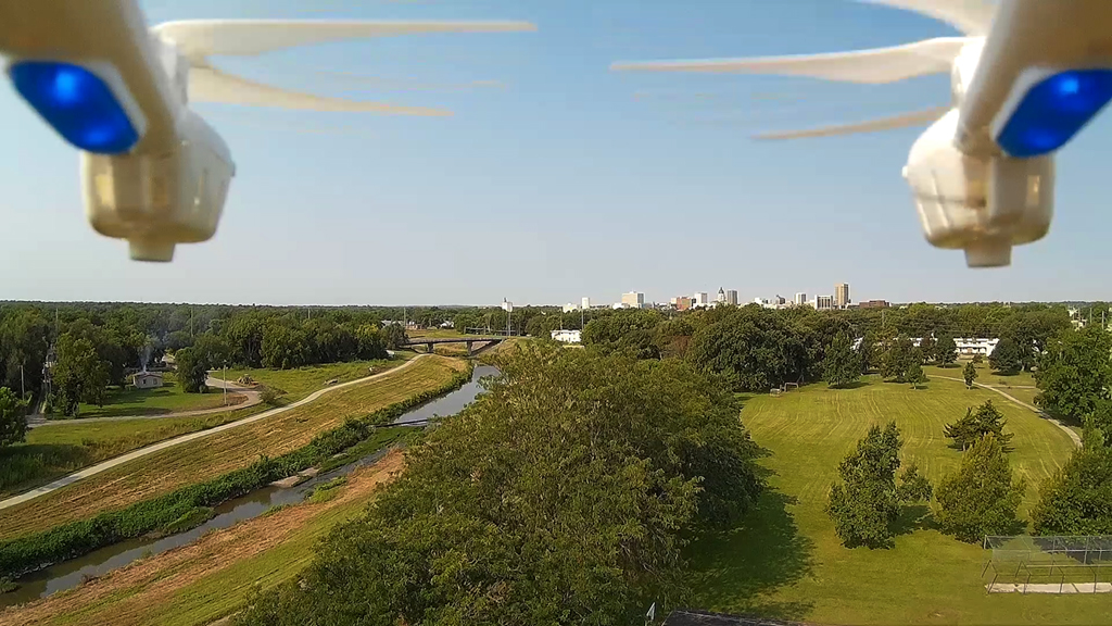
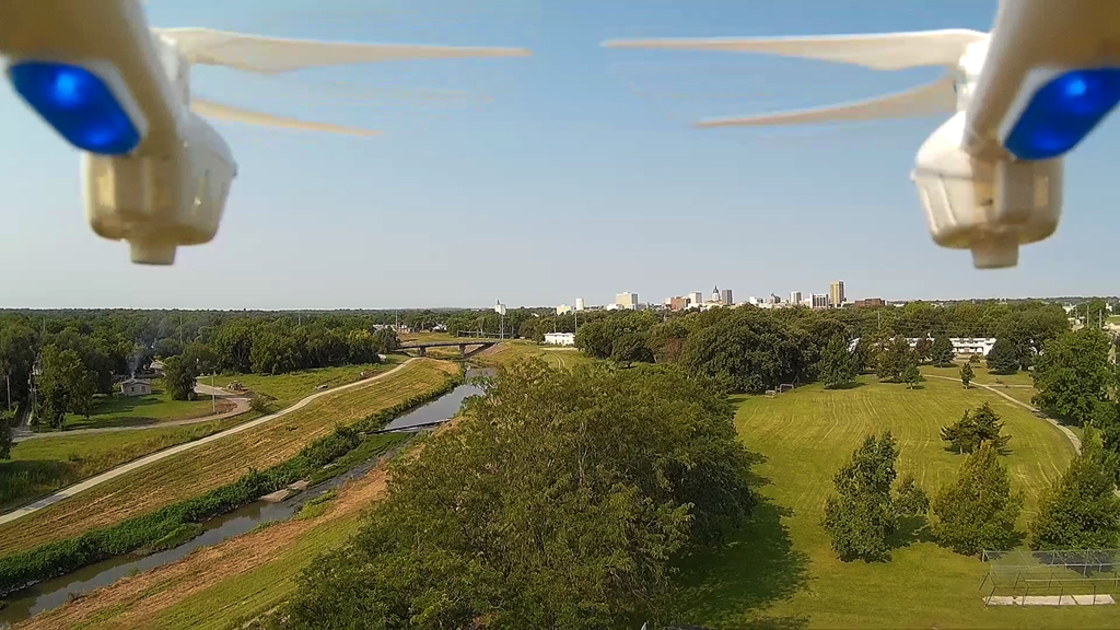
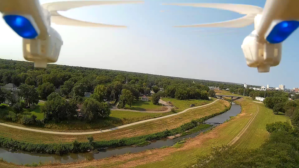
Flying North of the River - August 25, 2015
Not quite as high as we thought were, as you
can hardly see the Kansas River off to the right
on the horizon.
Up along Lower Silverlake Road and about a mile West of
downtown North Topeka looking to the East
and Southeast. Downtown Topeka can be seen on the horizon.
